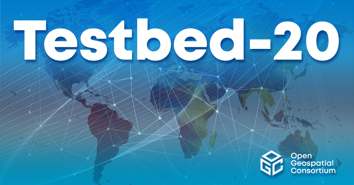
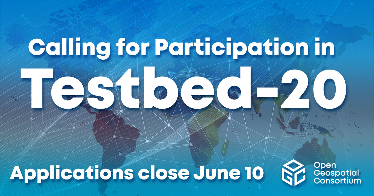
OGC is a consortium of experts committed to improving access to geospatial, or location information. We connect people, communities, and technology to solve global challenges and address everyday needs.

Our partners

We represent over 500 businesses, government agencies, research organizations, and universities united with a desire to make location information FAIR – Findable, Accessible, Interoperable, and Reusable.

OGC is the home of geospatial innovation, collaboration, and standards. We are an international membership organisation that supports a diverse community of 500+ businesses, government agencies, research organizations, and universities, all working together to make location information FAIR – Findable, Accessible, Interoperable, and Reusable.

OGC by the Numbers: Building an Engaged Membership

Our membership is driven, open, diverse, inclusive, accessible, and made up of fortune 500 organizations, governments, academic hubs for innovation, startups that are changing the location of landscape, and more.

530+

Total Members

84

New Members in 2022

17

Principal Members

9

Strategic Members

Join The OGC

Provide input on a new or revised standard

Ensure that standards represent diverse perspectives and utilize the best in current technology by providing feedback on a potential standard or working group.

Respond to a request for public comment

Sponsor or participate in an Innovation Initiative

Help bring this work to life by conducting experiments, undertaking research, developing prototype solutions, and more.

Learn more about our innovation program

Upcoming events

VIRTUAL

January 17 – June 19, 2024

Climate & Disaster Resilience Seminars – 2024

The OGC Stakeholder Community Coordination Group, which brings together members of the Climate and Disaster Resilience communities, has lined up an exciting program of speakers and panels for the first part of 2024. The talks will showcase geospatial technologies and data (especially those leveraging OGC Standards) across a range of applications used in Climate and Disaster Resilience. The talks are free and open to the public. Anyone interested in how spatial data and technology can help us to improve climate and disaster resilience is encouraged to attend. Seminars are held monthly on the third Wednesday at 11:00-12:30 US Eastern. Each presentation/panel will run for around 30 minutes + time for Q&A. This will be followed by short updates on what\’s happening in relevant OGC Pilots and Working Groups, as well as any upcoming opportunities.

Preliminary Program for Winter/Spring 2024

datespeakertopic17 JanPaul English (Tracking California, Public Health Institute)Geospatial Environmental Health Products from the Public Health Institute21 FebAnna Liljedahl (Woodwell Climate Research Center)Permafrost Discovery Gateway – enabling big data creation and knowledge-generation to support Arctic communities20 MarchGrey Nearing and Avichai Tendler (Google)Google\’s Global Flood Forecasting Model and Fire Products17 AprilClimate Science + Open Science crossover panel – OSPD participantsHow can open science (geospatial) tools enable climate and disaster resilience?15 MayAllan Jamieson (Ordnance Survey)Can location create trust in supply chains?JuneNo seminar in JuneOGC Member Meeting – informal meetup17 JulyTee Barr (Verisk)Kate Vavra-Musser (University of Minnesota / iGuide)Title TBC21 AugustRyan Berkheimer (NOAA)Title TBC – update on NOAA\’s Open Information Stewardship Service (OISS)

How to join the seminars:

Link to use from your computer, tablet or smartphone: https://meet.goto.com/809299333 US Participants can also dial in using a phone:United States: +1 (224) 501-3412Access Code: 809-299-333 To join from a video-conferencing room or system:Dial in or type: 67.217.95.2 or inroomlink.goto.comMeeting ID: 809 299 333Or dial directly: 809299333@67.217.95.2 or 67.217.95.2##809299333 Members can also access the info using the OGC Portal Calendar.

OGC event

VIRTUAL

May 24 – May 24, 2024

DIS4SME InfoDay

The European Project DIS4SME will offer high-quality training courses that aim to upskill employees of Small and Medium Enterprises (SME) in the design and deployment of effective Digital Transformation strategies. SME owners, managers, and employees face several knowledge gaps in responding to the digital challenges related to data policies and technologies. Participants in the workshop will learn more about the DIS4SME project and the training that it will offer. The workshop will also show how SMEs can benefit from acquiring the right skills to cope with the challenges of location data interoperability. Data & time: May 24, 11:00 – 13:00 (CET) The DIS4SME Project, co-funded under the Digital Europe Programme, aims to implement courses on location data interoperability that can be applied in real work environments and the broader geospatial domain. The courses aspire to develop skills that can boost the entrepreneurial potential of European SMEs, help businesses grow, support the development of new products & services, and open new markets. DIS4SME delivers three types of courses (on-line and in-person): Short – term courses (max 2 days) for SME owners and managers Short – term courses (max 2 days) for SME employees and job seekers Intensive seminars and workshops (max 1 day) focused on Business Cases Register now for the InfoDay to learn more about the DIS4SME project, the training that it will offer, and how SMEs can benefit from acquiring the right skills to cope with the challenges of location data interoperability.
Register here

Community event

HYBRID MEETING

June 7 – June 7, 2024

OGC UK & Ireland Forum, June 2024

The OGC UK & Ireland Forum is an informal group of people and organizations in UK and Ireland that are interested in OGC Standards and geospatial innovation. It is open to any organisation located wholly or in part in the UK & Ireland. There will be talks on Digital Twin technologies, OGC APIs, Compliance Testing, and more. The meeting will be held at the Geovation Hub in London on Friday June 7th, at 14:00 – 16:00 BST. Virtual participation will be offered via GoTo Meeting. Click here for registration details. AGENDA 14:00 – 14:10 Introductions from the Forum Chairs. Samantha Lavender (Pixalytics), Chris Newlands (Space Aye) 14:10 – 14:15 Welcome remarks from the OGC Board of Directors. Ed Parsons (Google) 14:15 – 14:35 OGC Urban Digital Twin DWG drafted a position paper on Urban Digital Twins. Carsten Rönsdorf (Ordnance Survey) 14:35 – 14:55 Recent advances in OGC API – Environmental Data Retrieval. Chris Little and Guy Collins (Met Office) 14:55 – 15:05 OGC API Standards – Recent Case Studies. Gobe Hobona (OGC) 15:05 – 15:15 Break 15:15 – 15:55 Panel on the increasing role of AI in the processing of geospatial data – Anneley Hadland (Helyx SIS), Tim Just (UKRI), Sheikh Fakhar Khalid (Sensat), Stephen Thorp (Geospatial Commission)15:55 – 16:00 Closing remarks from the Forum Chairs. Samantha Lavender (Pixalytics), Chris Newlands (Space Aye)

OGC event

See all of our events

Sign up today

Receive the latest news on OGC.

© 2024 Open Geospatial Consortium. All Rights Reserved.

Become a memberBecome a member